A free program for Android, by Ижинформпроект.
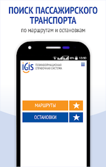
IGIS: Transport Routes & Stops is a public transport app for mobile phones that displays the current position of the city public transport in Izhevsk online. It has an interactive map that allows you to see the location of public transport in real-time.
You can select any type of public transport: bus, tram, or trolleybus.
To see the route and find the location of a stop, you need to click on the "Routes" button.
On the "Routes" screen, you can see a route number and a motion scheme.
The application also allows you to find the location of a stop by its name.
The color marker next to the name indicates the type of transportation: bus, trolleybus, tram, or shuttle bus.
You can also add stops to your favorites.


